

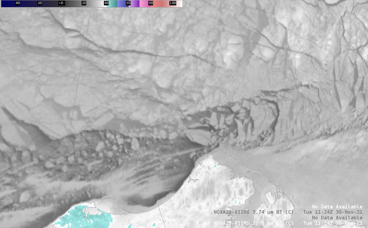
This animation of VIIRS 11.5 um imagery shows the breakup of the Arctic ice pack around Point Barrow and near Utqiagvik with individual ice floes moving west and southwest. The ice pack with numerous fractures and leads has a slower westward drift compared to the smaller individual ice floes. The frequent orbit of polar satellites passes over far northern latitudes enable these animations.
