The fire imagery can be a little deceiving sometimes. As seen in these images, something that appears like smoke is streaming from the peak of Denali. Not to worry, it didn’t suddenly become a volcano, instead it’s due to a little trick of the clouds.

VIIRS i04 band (3.74 um), 21:00 UTC 01 June 2022
The tops of high cirrus clouds can reflect a lot of solar energy and make an area look hot, as seen in this shortwave infrared VIIRS i04 band (3.74um) closeup of Mt. Denali at 21:38 UTC on June 1 2022.
Something that appears like smoke is streaming northeastward from the mountain top, but the VIIRS i05 (11.5 um) infrared image shows that what appears like smoke is actually much colder and is caused by high cirrus clouds.

VIIRS i05 band (11.5 um), 21:00 UTC 01 June 2022
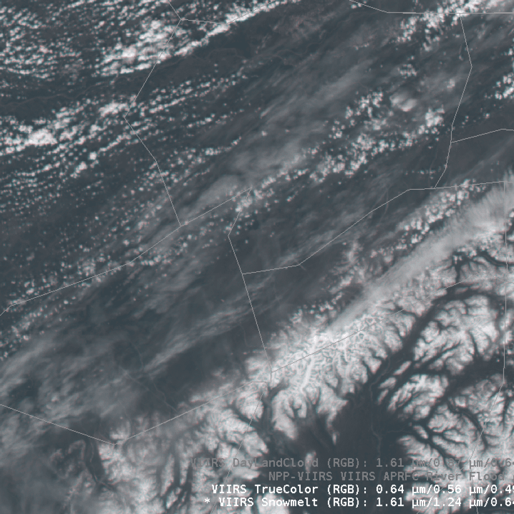
If we turn to the larger view of the True Color image and the DayLandCloud RGB, they show that there’s a lot of cirrus streaking across the state during this day, the result of an elevated moisture layer that is enhanced by mountains and convective instability. The DayLandCloud image uses blue and cyan to indicate the presence of ice and snow, so cirrus clouds appear as an off-white cyan due to their ice content.

VIIRS True Color RGB, 21:38 UTC 01 June 2022

VIIRS DayLandCloud RGB, 21:38 UTC 01 June 2022


