quick access, reliable products for forecasters & researchers
A Satellite Direct Broadcast Facility at the University of Alaska Fairbanks
Near real-time weather monitoring for Alaska and its adjacent oceans
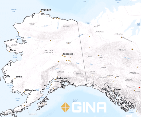
Fire Point Mapping in Alaska:
This video shows a timelapse of the fire heat points detected by GINA over the course of the 2023 Alaska Fire Season from May 15, 2023 to September 5, 2023. Recent fire points are displayed as bright red and fade to brown after a few days. Fire points frequently appearing in the same location indicate an actively burning wildfire. This product doesn’t detect points that are under cloud cover or thick smoke. This product is used by the Alaska Fire Service for detecting active fires on the Alaska Wildland Fire Information Map.
Timelapse of 2023 Fire Season
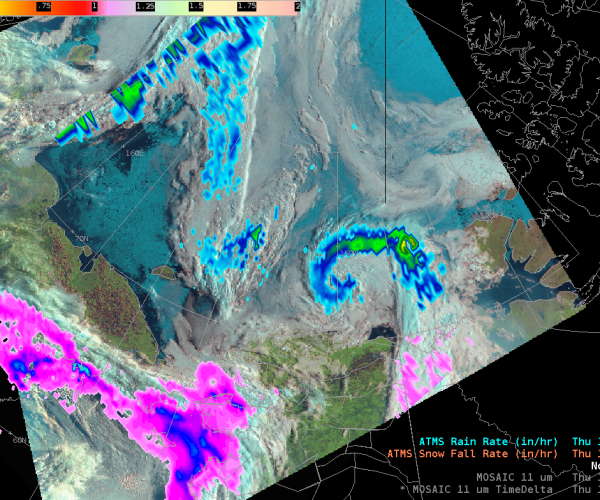
DayLandCloud with Snowfall and Rainfall Overlay
since 2001
About GINA
Established in 2001 as an initiative of UA’s President, the Geographic Information Network of Alaska (GINA) focuses on remote sensing and geographic information systems activities for Alaska and its surrounding oceans.
GINA collaborates with federal, state, and academic partners to serve this data through public portals. An inventory of satellite images over the state of Alaska is available online and these images can be freely downloaded.


