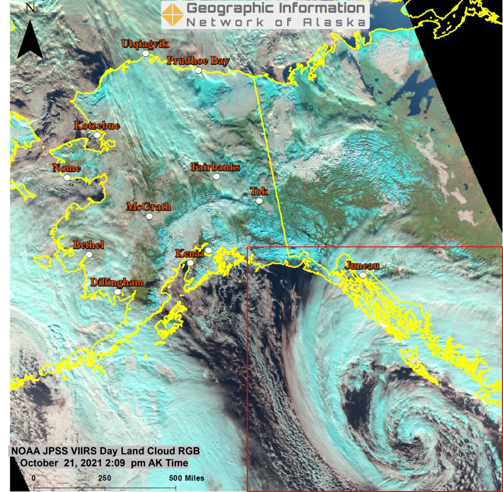
Image Showcase
September Ice Structure over Arctic Ocean
This VIIRS DayLandCloud RGB image from Sept 9, 2021 shows the northern extent of GINA’s Direct Broadcast coverage over the Arctic Ocean all the way to the North Pole. VIIRS imagery has a high resolution of 375 meters which is highlighted in the close-up view of the detailed ice structure offshore of Banks Island in …
Early August Showers in the Northern and Interior Alaska
Clouds are covering much of Interior and Northern Alaska after a week of clear weather. This is a DayLandCloud RGB image which is made from three VIIRS satellite bands assigned to red, green, and blue components to produce a false color image. The 1.6 um band is assigned red, the 0.87um band to green, and …
Early August Showers in the Northern and Interior Alaska Read More »
Interior AK Smoke Plumes
A spectacularly clear day over Alaska allows JPSS #VIIRS to see a raft of smoke plumes from interior fires on Aug 4, 2021 (True Color RGBs).
Fire Season Underway in Alaska
Two images of the VIIRS i04 band (3.74 um) show the change in three days of an early season fire near Kongishluk Bay. The top image is from May 26th and the bottom image is from May 29th using a colormap that enhances the hottest Brightness Temperatures from green to red to yellow. With prevailing …
VIIRS Satellite Image of Cold Air
This is a VIIRS i05 Infrared image (11.5 um) at 1245 UTC 08 Feb 2021 with colormap to show the colder temperatures. The legend at the upper left shows how the colors relate to temperature with colder to the right and warmer to the left. The non-grey colors range from -20 to -85 deg F …
Wind and Precipitation Satellite Products
A weather front is approaching southeast Alaska and these images of microwave satellite products provide a lot of information regardng what you would want to know about it. The first image is the AMSR2 ocean surface wind showing a maximum of 55 kt winds along the outer coast near Sitka. The second image is a …
Satellite Shows Sea Ice Extends Into Bering Sea
This AMSR2 Passive Microwave Sea Ice Concentration product valid at 1412 UTC 16 Dec 2020 shows sea ice covering most of Norton Sound extending to northeastern portions of the Bering Sea.
Snow Depths from Satellite
This estimate of snow depth over Alaska at 1240 UTC 07 Dec 2020 was produced from the AMSR2 microwave sensor data on the GCOM-W satellite.
Satellite Image of precipitation from Atmospheric River affecting Southeast Alaska
This composite of MiRS satellite rain rates (Microwave Integrated Retrieval System) combined with one hour precipitation radar products from all seven of Alaska’s radars at 2300 UTC 01 Dec 2020 provides a regional picture of rainfall extent and intensity.